The Box Canyon Trail has a west trailhead about 1 mile south of the Transfer Campground on Forest Road 561. The trail runs east for 6.5 miles to a junction with the West Mancos Trail in the vicinity of the old mountain town of Golconda. The Box Canyon Spur Trail provides an access to the eastern part of the main trail from the Echo Basin area.
The Echo Basin Road is a north turn off of Highway 160 about 3 miles east of Mancos in southwest Colorado. Forest Road 566 continues where the pavement ends. It is about 7 miles the junction of Forest Road 566 and Forest Road 331, in the area known as the T-Down Park and corral. The Box Canyon Spur Trail begins two miles north at the end of Forest Road 331.
The trail is a closed extension of Road 331. It is about 1.3 miles through Aspen and Spruce Fir forest to the unmarked junction with the main Box Canyon Trail. There is a small creek crossing along the way with some views to the west. I turned east toward the canyon rim that overlooks Deer Lick Creek. After a few minutes there are good views toward Mount Hesperus and the LaPlata Mountains.
At the canyon rim, there is a good view up the
West Mancos River with the mountains in the background. The Golconda area is visible, old fences and trails, and trail signs. I had trouble with the next segment, both descending to and ascending from the Deer Lick Creek canyon bottom area.
The trail turns south and stays along the rim, passing some old fences. I was looking for a switchback that descended, but either I missed it, or the trail is very overgrown. I followed a trail that was descending, but it seemed to go too far to the south. Eventually, the trail I was following fizzled out, but I was close enough to the canyon bottom to see the canyon bottom trail, and I thought I was back on the right track.
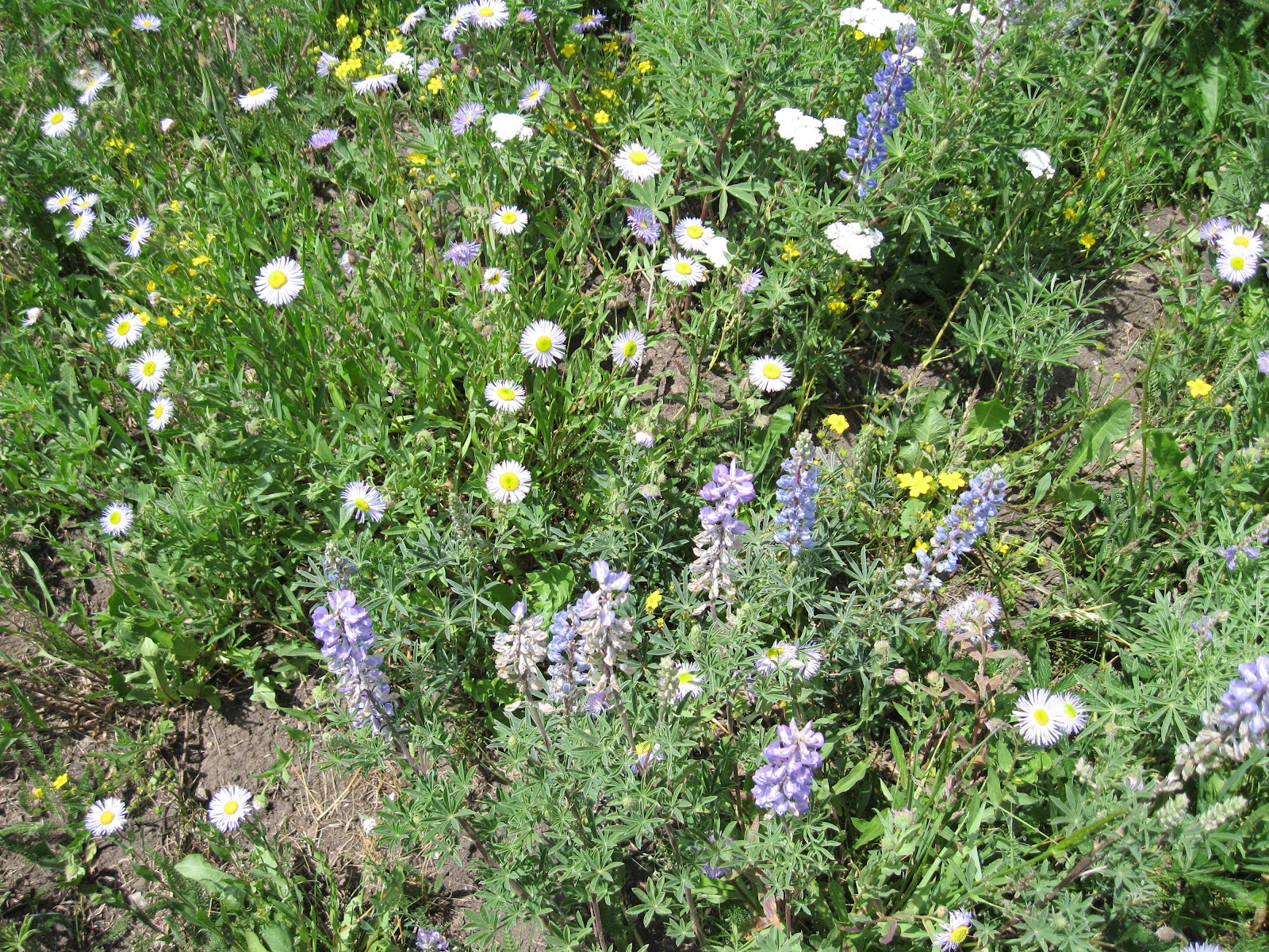
There were several beaver dams along the Deer Lick Creek including beaver lodge. The wildflowers were also good along the creek segment. The flies and mosquitoes were a nuisance along here also.
At the junction of Deer Lick Creek and the West Mancos River, the Box Canyon Trail appears to cross and turn upstream toward Golconda. I didn’t cross, but in mid July the crossing looked easy. It took me 2:15 hours to arrive at the banks of the West Mancos.
On my return hike, I followed the trail back up the Deer Lick Creek until there was a muddy creek crossing and thought that I had gone past turnoff to the main trail that climbs out of the canyon. There appears to be an unofficial trail that follows Deer Lick Creek until it reaches Forest Road 566 near Lucy Halls Park.
I tried climbing to the canyon rim through the forest and found a closed road trail on the rim that also led to Lucy Halls Park. At Lucy Halls Park, there is a rock marked staging area that I think hunters use in the fall. There are also some good views toward the mountains.
From Lucy Halls Park I followed the Forest Roads 566 and 331 back to my starting point. The return hike on the accidental loop took 3:00 hours for a total hike of 5:15 hours for about 10 miles. On the return I cut through the wildflower rich
T-Down Park.


No comments:
Post a Comment