The West Fork enters the Dolores River about 15 miles north of the town of Dolores. This trail is part of a 25 mile loop trail for mountain bikers that includes the paved road.
 Dirt bikes and horses can also use this trail. The Emerson Trail Head area used to be a campground, but has been retired for camping for the last 10 years or so.
For hikers, the first part of the hike is along the bank of the West Fork River, then crossing a small bridge. Along the clear running stream are some tall Engelmann Spruce trees.
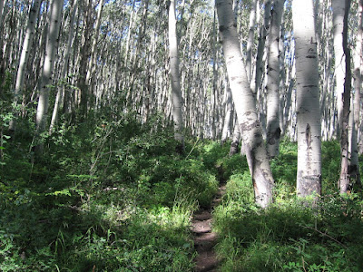
 This is a good aerobic trail, climbing steeply with switchbacks through a mostly Aspen forest. The under story of vegetation is very thick and has a lot of waist high wildflowers. This route is like a narrow alley with chest high vegetation with shady Aspens overhead.
The views through the thick forest are across the narrow West Fork canyon with glimpses of the paved road below and a little up the canyon to the north. After the first 75 percent of the climb, the trail levels out for about 10 minutes. There are scattered Douglas Firs and Gambel Oaks high up.
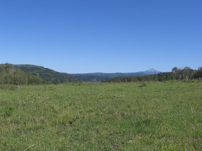
The trail climbs more than 1200 feet and enters a high meadow area. A short distance across the meadow is a small constructed reservoir.
 From the high meadow area there are views to Lone Cone Peak to the north and Mt. Hesperus back to the southeast. The trail continues on through a forested and meadow area.
It took me about 1:20 hours to get to the reservoir and I turned around there. My total hike was 2:30 hours.

No comments:
Post a Comment